|
| *****SWAAG_ID***** | 148 |
| Date Entered | 05/03/2011 |
| Updated on | 06/03/2011 |
| Recorded by | Stephen Eastmead (admin) |
| Category | Vernacular Record |
| Record Type | Mining |
| Site Access | Public Access Land |
| Record Date | 13/11/2010 |
| Location | Mouldside, Arkengarthdale. |
| Civil Parish | Arkengarthdale |
| Brit. National Grid | NY 989 029 |
| Altitude | 335m-475m |
| Record Name | Mouldside Lead Levels. |
| Record Description | Images copyright: Chris Twigg.
Taken on the 13/11/2010 and for Old Moulds Level 20/11/2010. |
| Image 1 ID | 380 Click image to enlarge |
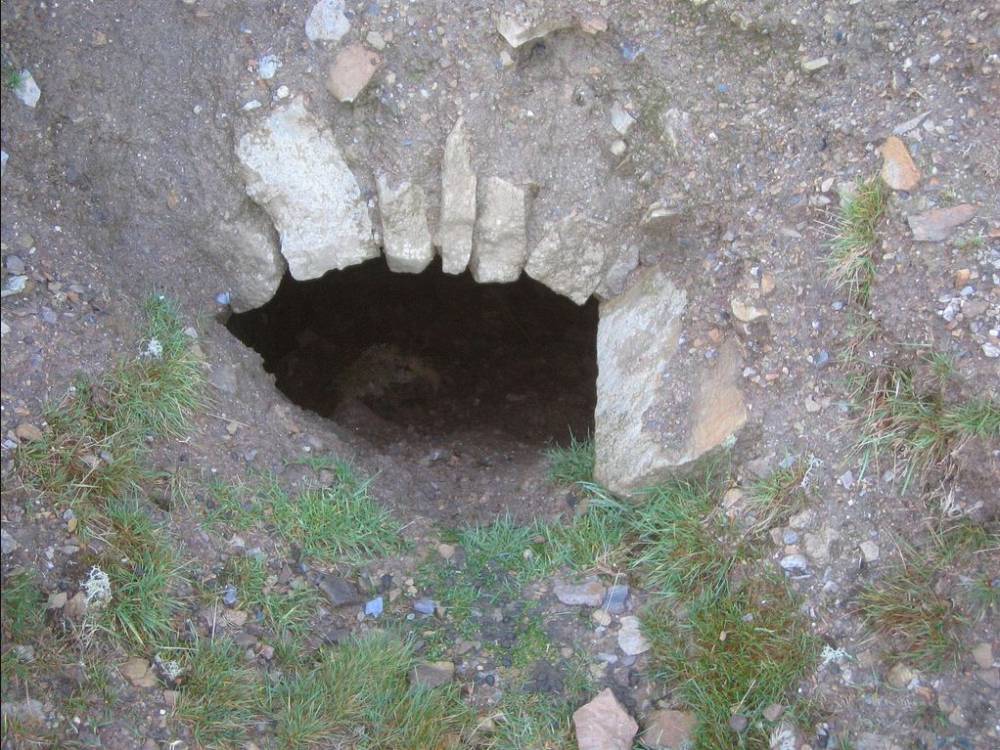
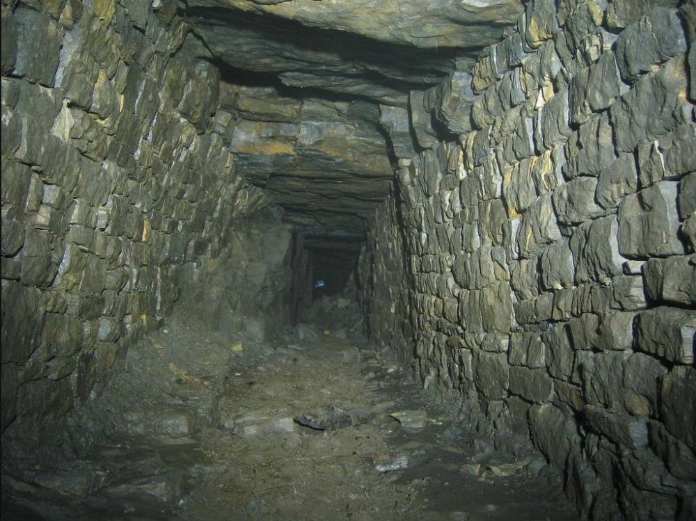
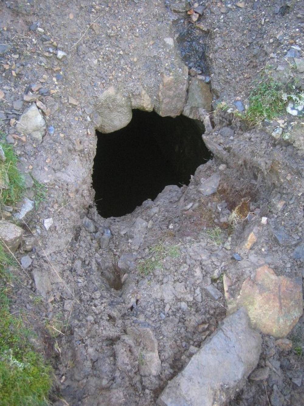
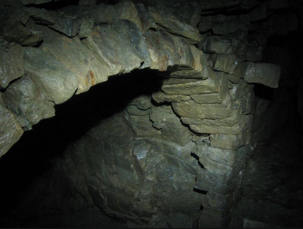
| Image 1 Description | Justice Level | 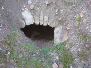 |
| Image 2 ID | 381 Click image to enlarge |
| Image 2 Description | Justice Level | 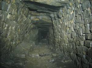 |
| Image 3 ID | 382 Click image to enlarge |
| Image 3 Description | Justice Level tips | 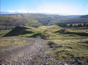 |
| Image 4 ID | 383 Click image to enlarge |
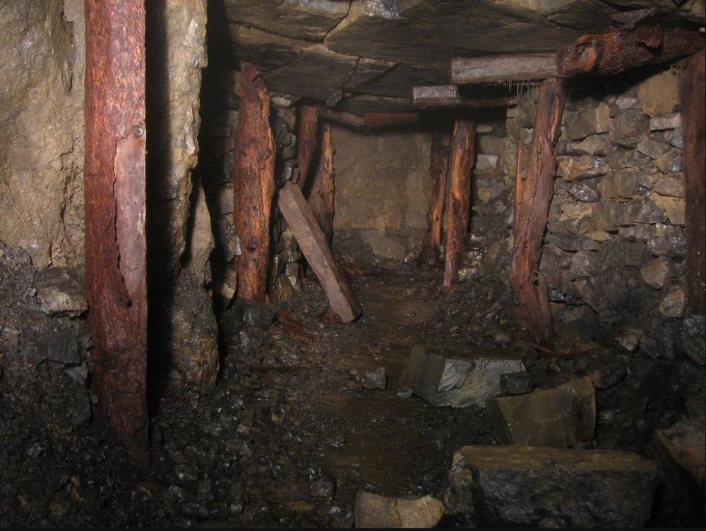
| Image 4 Description | Old Moulds Level | 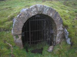 |
| Image 5 ID | 384 Click image to enlarge |
| Image 5 Description | Old Moulds Level | 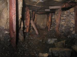 |
| Image 6 ID | 385 Click image to enlarge |
| Image 6 Description | Old Moulds Level | 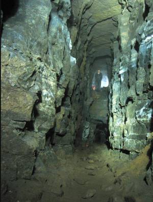 |
| Image 7 ID | 386 Click image to enlarge |
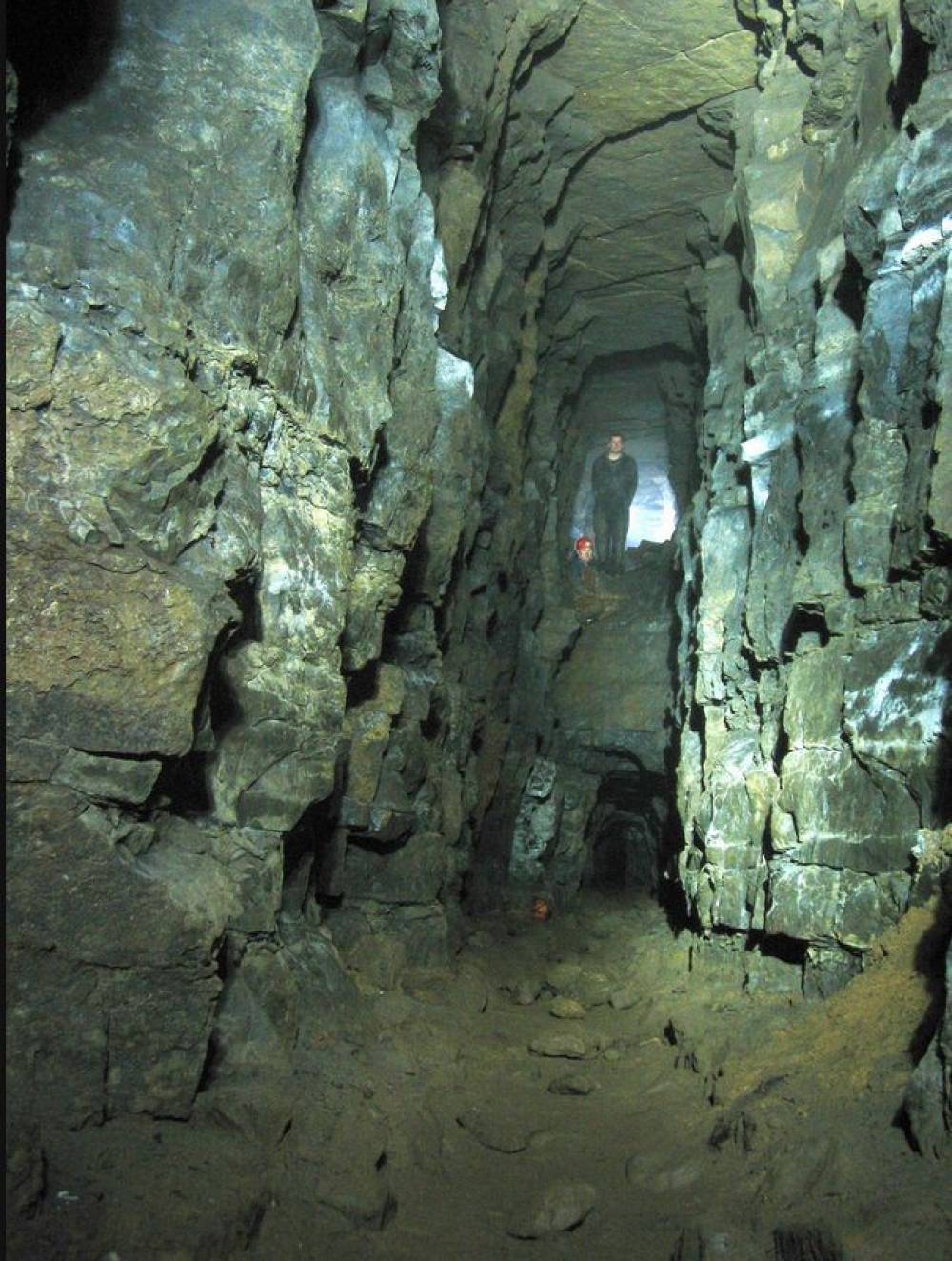
| Image 7 Description | Underedge Level |  |
| Image 8 ID | 387 Click image to enlarge |
| Image 8 Description | Underedge Level | 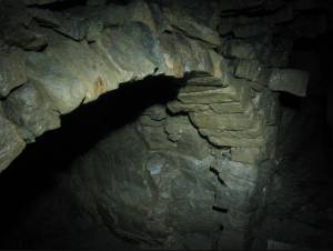 |